Updated:
19 September 2022
# Topics
Follow Us

2GIS Maps for ZOO is released
2GIS Maps for ZOO is released
05 May 2015

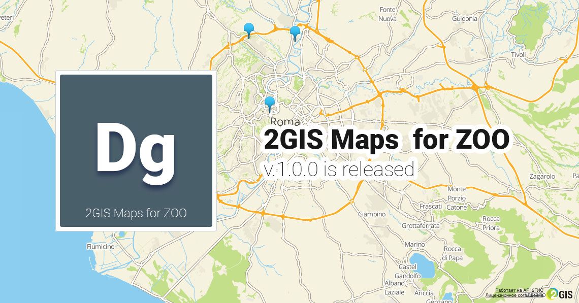
The new element for ZOO has arrived allowing integration of interactive maps from 2GIS service, which remarkable feature is a complete itemisation of geographic data and localities including new buildings and driveways.

An easy management interface and beautiful design displaying the finest details that are repeating the borders in pseudo 3D format will beautify your pages and make your website more interactive and attractive.

What is 2GIS?

2GIS is business listings with contact details of organizations, hotels and restaurants as well as user-friendly service for searching routes on the map. This service allows you to integrate maps into the web pages. We have developed the element for ZOO CCK which will help you to integrate a map into the content of your website built on ZOO.

List of features:

  • Parameters override
  • Multiple markers and balloons
  • Responsive design
  • Multiple maps per page
  • Map skins: Dark and Light
  • Well-detailed maps of cities & localities
  • Pseudo 3D design of buildings & objects
  • Various Map settings

Please pay your attention! 2GIS service supports the cartography of the following countries: Russia, Ukraine, Kazakhstan, Czech Republic, Italy, Cyprus, United Arab Emirates and Chile.

Eugene Sivokon
Eugene

Product manager and Joomla enthusiast who has worked in many major web development roles since 2002 taking on a wide array of various projects.
Linkedin

# Share post
Pin it